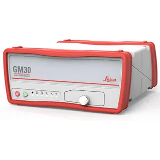
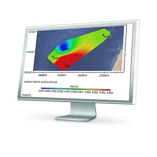
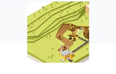
MONITORING SOLUTIONS BY INDUSTRY
Building & Structures
Transport & Infrastructure
Mining
Environmental Monitoring
Energy Infrastructure
Building & Structures > Asses building health and stability while construction of new underground metro lines or tunnels are developed, monitor aging infrastructure, ground instability or the verticality of high-rise building projects, we have the right solution for you. With the ability to deliver full solutions, all from one reliable vendor, we provide software that is developed to work seamlessly with in-house, high-end sensors, like Total Stations and GNSS as well as other 3rd party geotechnical and environmental sensors, We provide expert support and consultation. Monitor with real-time information and rely on reports generated automatically based on a customisable schedule.
Transport & Infrastructure > If you're looking to monitor bridges, tunnels, or the geometry of railway tracks for issues related to ground instability, construction impact, aging infrastructure, or maximizing the lifetime of your building assets, we have the perfect solution for you. We offer a comprehensive solution that covers everything from one reliable vendor. Leica Monitoring software is designed to seamlessly integrate with in-house, high-end sensors like Total Stations, GNSS receivers and Wisenmesh Tilt sensors, as well as other third-party geotechnical and environmental sensors. We also offer expert support and consultation to ensure that you have all the resources you need. You can monitor in real-time and rely on automated reports that can be customized to suit your needs.
Mining > With C.R Kennedy and Leica Geosystems, we offer adaptable monitoring solutions that are tailored to your specific requirements. Whether you need real-time monitoring of slope stability, waste and tailing dams, excavations, highwalls, underground work, or subsidence or climate impact on your mine, we have the perfect solution for you. Our solutions are designed to increase safety and productivity in your mine, and we offer a complete package, all from one reliable vendor. HxGN GeoMonitoring hub software seamlessly combines data from all types of monitoring technology, including prism monitoring, radars, and other geotechnical and environmental sensors. We also provide expert support and consultation to ensure you have everything you need. You can monitor with real-time information and rely on automated reports that can be customized to suit your requirements.
Environmental Monitoring > With C.R Kennedy and Leica Geosystems we offer adaptable monitoring solutions that can be tailored to meet your specific requirements. Whether you need to monitor natural hazards such as landslides, seismic or volcanic activity, or gather information to predict potential failures or for post-incident studies, we have the perfect solution for you. We provide a complete package, all from one reliable vendor, including software that seamlessly integrates with in-house, high-end sensors like total stations and GNSS, as well as third-party geotechnical and environmental sensors. We also offer expert support and consultation to ensure you have the resources you need. With real-time monitoring, you can rely on us to provide you with the information you need, and our automated reports can be customized to suit your requirements. We also offer special reports that include inverse velocity, hazard and displacement maps, and velocity limit checks to give you additional insights into the acceleration of landmass and to help you manage the risk of failure.
Energy Infrastructure > C.R Kennedy and Leica Geosystems offers adaptable monitoring solutions that are tailored to meet your specific needs. We can monitor infrastructure such as dams, pipelines, and oil platforms to help reduce the risk caused by structural stress due to aging or damage from natural hazards, nearby construction, subsidence, or utility networks. Our complete package, all from one reliable vendor, includes software that seamlessly integrates with high-end sensors like total stations and GNSS, as well as third-party geotechnical and environmental sensors. We also offer expert support and consultation to ensure you have everything you need. With real-time monitoring, you can rely on us to provide you with the information you need, and our automated reports can be customized to suit your requirements. Whether you need to monitor your infrastructure to prevent risks or improve its longevity, we have the perfect solution for you.