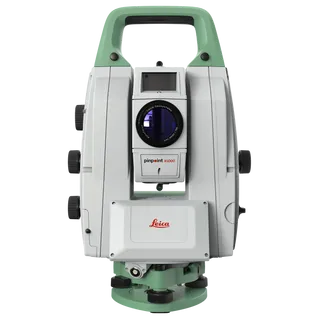
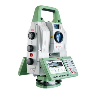
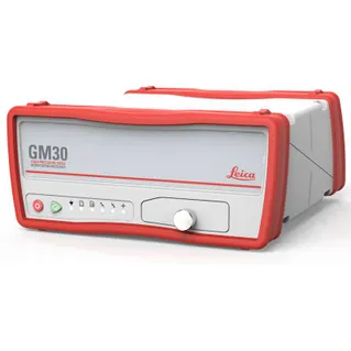
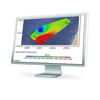
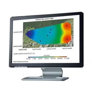
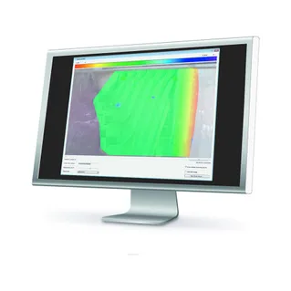
With C.R Kennedy and Leica Geosystems we offer adaptable monitoring solutions that can be tailored to meet your specific requirements. Whether you need to monitor natural hazards such as landslides, seismic or volcanic activity, or gather information to predict potential failures or for post-incident studies, we have the perfect solution for you. We provide a complete package, all from one reliable vendor, including software that seamlessly integrates with in-house, high-end sensors like total stations and GNSS, as well as third-party geotechnical and environmental sensors. We also offer expert support and consultation to ensure you have the resources you need. With real-time monitoring, you can rely on us to provide you with the information you need, and our automated reports can be customized to suit your requirements. We also offer special reports that include inverse velocity, hazard and displacement maps, and velocity limit checks to give you additional insights into the acceleration of landmass and to help you manage the risk of failure.

C.R. Kennedy is your national partner for all positioning needs from surveying to machine control, building construction to reality capture and everything in-between. Wherever you are in Australia, C.R. Kennedy are with you, providing an unparalleled level of service and support from industry experts to get the job done safely and efficiently.
Shop Safely and Securely with
@ C.R.Kennedy Geospatial Solutions
Our Brands
© 2026 C.R. KENNEDY. All rights reserved.
ICON SITE EXCAVATOR
SPECIAL OFFER - LIMITED TIME
A simple machine control solution ideal for compact excavators — with a big payoff!