GPS/GNSS Survey & Construction Software

Transforms satellite signals into centimeter-accurate positioning for civil engineering projects by mapping terrain, capture boundaries, and pinpoint physical stakes based on digital CAD models.


Submit your request below and someone from our experienced team will be in touch with you shortly.
If you'd prefer to speak with one of our team, please call your nearest office

Close  
Please enter your Email Address
Please enter a valid phone number
Please enter your name
Please enter your business name

Download your free CAD trial

The BricsCAD® Ultimate trial includes all features of
 Lite  Pro  BIM  Mechanical  Shape

Download BricsCAD®
& Get Started

BricsCAD® Ultimate is yours for free for 30 days

GNSS Antennas
GNSS Controllers & Tablets
GNSS Receivers
GNSS Reference Stations
GNSS Software
High Accuracy & Centimeter GNSS
Leica GNSS Smart Antennas
Sort by 
Results
  • BCAD-PRO-S-LT

    BricsCAD - Professional CAD Software

    BricsCAD - Professional CAD Software

  • SW-SN-PRO

    MicroSurvey STAR*NET Software

    MicroSurvey STAR*NET Software

  • SW-CAD-ULT

    MicroSurvey CAD

    MicroSurvey CAD

  • BCAD-COMM-N-MAIN

    BricsCAD Communicator - Maintenance 1 yr - Network

    BricsCAD Communicator - Maintenance 1 yr - Network

  • BCAD-UPG-MAINT

    BricsCAD Upgrade to maintenance

    BricsCAD Upgrade to maintenance

  • LG842484

    GRL200 Multi-Frequency

    GRL200 Multi-Frequency

  • LG842486

    Leica GRL202 Galileo Option

    Leica GRL202 Galileo Option

  • LG842488

    Leicac GRL203 BeiDou Option

    Leicac GRL203 BeiDou Option

  • SW-FG-PRE

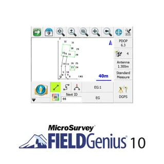
    MicroSurvey Field Genius

    MicroSurvey Field Genius

Sort By


Filter By