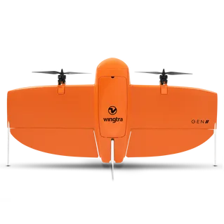
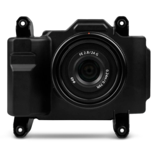
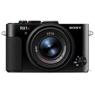
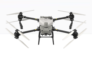
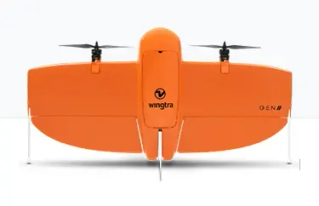
Cover large areas and corridors accurately and cost effectively. The WingtraOne RPAS is an easy-to-use vertical take-off and landing (VTOL) RPAS / drone that maps and delivers consistent, high-quality survey data faster, and at a lower cost, than other surveying tools. Cover more ground with benefits of winged lift, while achieving the best ground sample distance (GSD) and highest accuracy.
Get in touch > Contact Us Book a Demo Technical Support Book a Service


C.R. Kennedy is your national partner for all positioning needs from surveying to machine control, building construction to reality capture and everything in-between. Wherever you are in Australia, C.R. Kennedy are with you, providing an unparalleled level of service and support from industry experts to get the job done safely and efficiently.
Shop Safely and Securely with
@ C.R.Kennedy Geospatial Solutions
Our Brands
© 2026 C.R. KENNEDY. All rights reserved.
ICON SITE EXCAVATOR
SPECIAL OFFER - LIMITED TIME
A simple machine control solution ideal for compact excavators — with a big payoff!